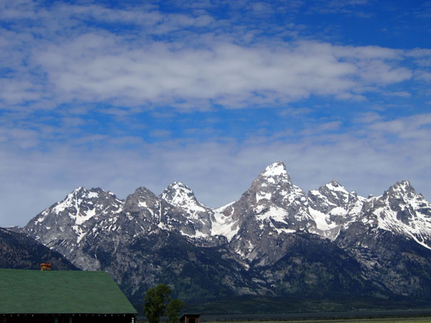
An All American Road Trip - Part Four
(The Grand Teton - Day One)
May 31 - June 22, 2012

Grand Teton National Park
Outside of Jackson Hole, Wyoming
Our arrival in Jackson Hole, though we had already seen changing topography, brought a realization
that we had all been hoping for because we had reached the place where new and different experiences were going to begin.
Janie and Bobbie both decided that our first stop should be the 'Visitor Center' in Jackson to get both good advice and insight to how we should effectively use our limited time we had at both Grand Teton and Yellowstone.
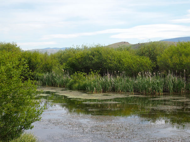
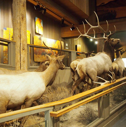
Behind the Visitor Centor in Jackson, WY
Bobbie took these outside and inside the Visitor Center
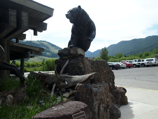
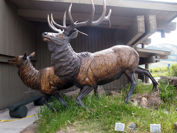
We left the Visitor Center and headed for the National Park
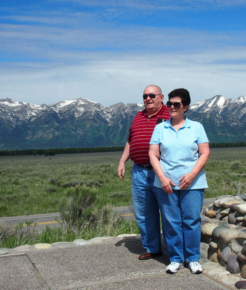
Dave and Janie
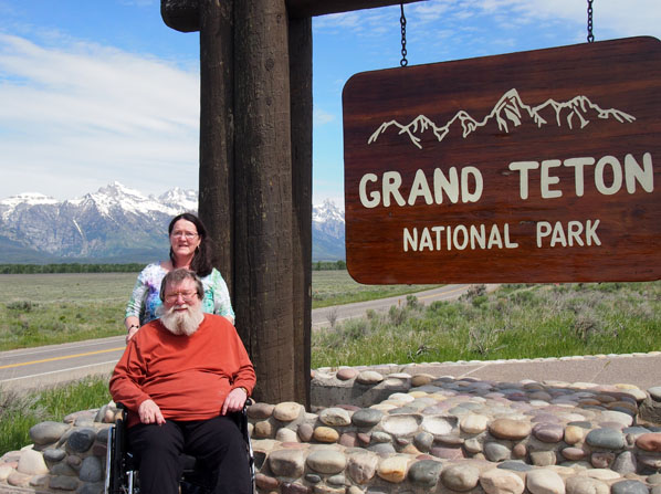
Bruce and Bobbie
The Grand Teton National Park
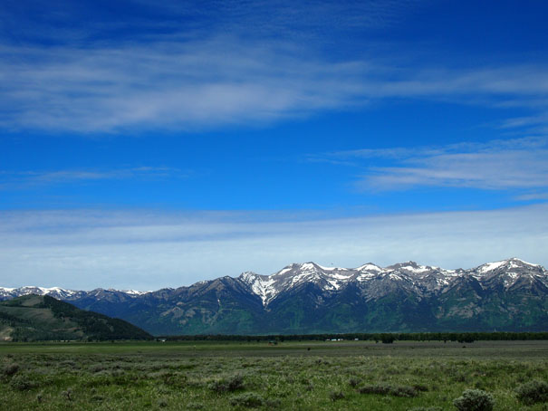
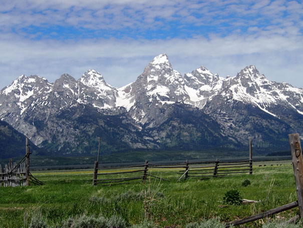
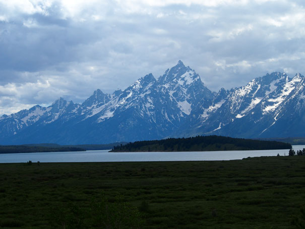
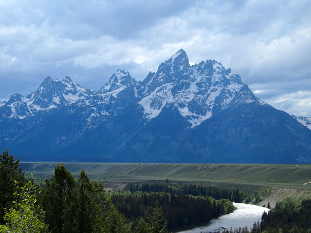
Grand Teton National Park is a United States National Park in northwestern Wyoming. Approximately 310,000 acres in size, the park includes the major peaks of the 40-mile long Teton Range as well as most of the northern sections of the valley known as Jackson Hole. Only 10 miles south of Yellowstone National Park, the two parks are connected by the National Park Service managed John D. Rockefeller, Jr. Memorial Parkway. These three protected areas in conjunction with surrounding National Forests constitute the Greater Yellowstone Ecosystem, which at almost 18,000,000 acres, is one of the largest intact mid-latitude temperate ecosystems in the world.
Human history of the Grand Teton region dates back at least 11,000 years, when the first nomadic hunter-gatherer Paleo-Indians would migrate into the region during warmer months in pursuit of food and supplies. In the early 19th-century, the first Caucasian explorers encountered the Eastern Shoshone natives. Between 1810 and 1840, the region attracted fur trading companies that vied for control of the lucrative beaver fur trade. U.S. Government expeditions to the region commenced in the mid-19th-century as an offshoot of exploration in Yellowstone, and the first permanent white settlers in Jackson Hole arrived in the 1880s. Efforts to preserve the region as a national park commenced in the late 19th-century and in 1929, Grand Teton National Park was established, protecting the major peaks of the Teton Range. The valley of Jackson Hole remained in private ownership until the 1930s, when conservationists led by John D. Rockefeller, Jr. began purchasing land in Jackson Hole to be added to the existing national park. Against public opinion and with repeated congressional efforts to repeal the measures, much of Jackson Hole was set aside for protection as Jackson Hole National Monument in 1943. The monument was abolished in 1950 and most of the monument land was added to Grand Teton National Park.
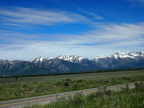
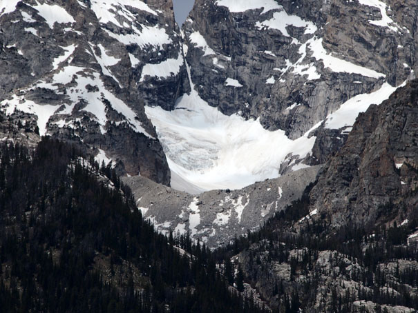
Grand Teton National Park is named for Grand Teton, the tallest mountain in the Teton Range. The naming of the mountains is attributed to early 19th-century French speaking trappers-"les trois tetons" (the three breasts) was later anglicized and shortened to Tetons. At 13,775 feet, Grand Teton abruptly rises more than 7,000 feet above Jackson Hole, almost 850 feet higher than Mount Owen, the second highest summit in the range. The park has numerous lakes, including 15-mile long Jackson Lake as well as streams of varying length and the upper mainstream of the Snake River. A dozen small glaciers persist, though in a state of recession, at the higher elevations near the highest peaks in the range. Some of the rocks in the park are the oldest found in any U.S. National Park and have been dated at nearly 2.7 billion years.
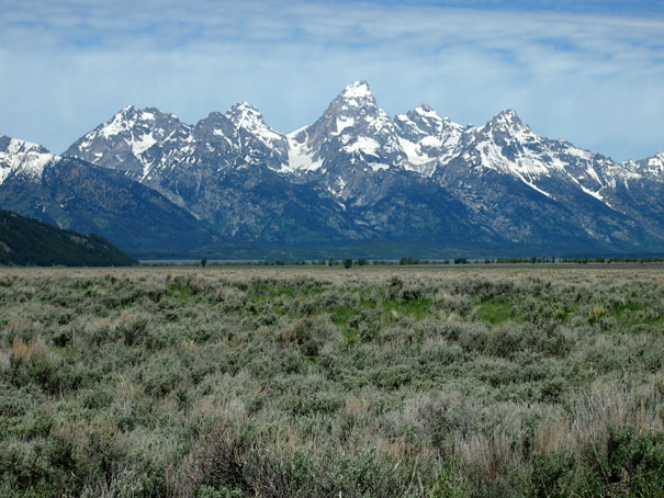
Grand Teton National Park is an almost pristine ecosystem and the same species of flora and fauna that have existed since prehistoric times can still be found there. More than 1000 species of vascular plants, dozens of species of mammals, 300 species of birds, more than a dozen fish species and a few species of reptiles and amphibians exist. Due to various changes in the ecosystem, some that are human-induced, efforts have been made to provide enhanced protection to some species of native fish and the increasingly threatened Whitebark Pine. Grand Teton National Park is a popular destination for mountaineering, hiking, fishing and other forms of recreation. There are more than 1000 drive-in campsites and over 200 miles of hiking trails that provide access to backcountry camping areas. Noted for world-renowned trout fishing, the park is one of the few places to catch Snake River fine-spotted cutthroat trout. Grand Teton has several visitor centers that are managed by the National Park Service and concessionaire managed facilities which operate motels, lodges, gas stations and marinas.
Quoted From: Grand Teton National Park - Wikipedia
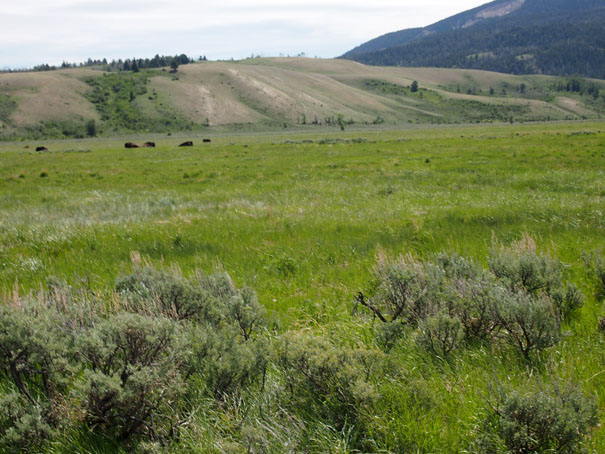
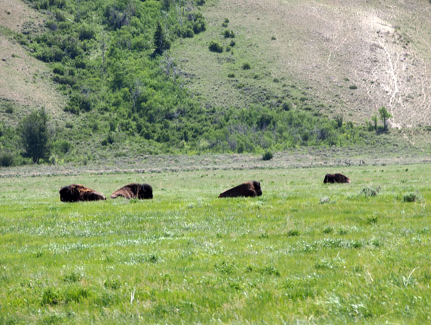
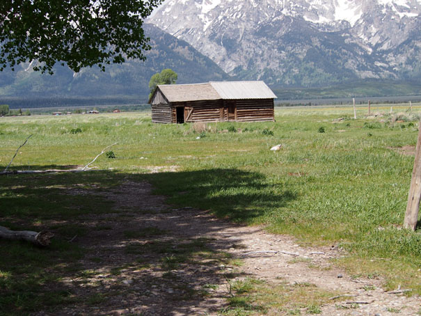
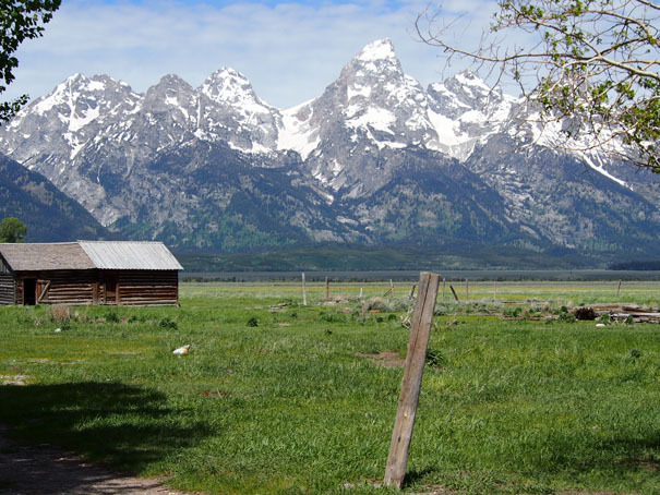
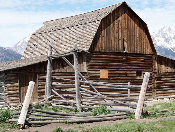
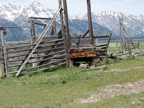
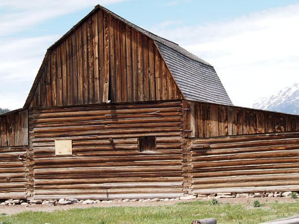
Mormon Row Historic District
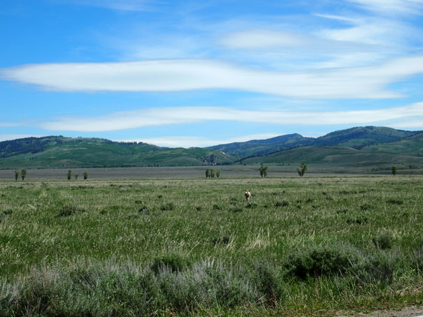
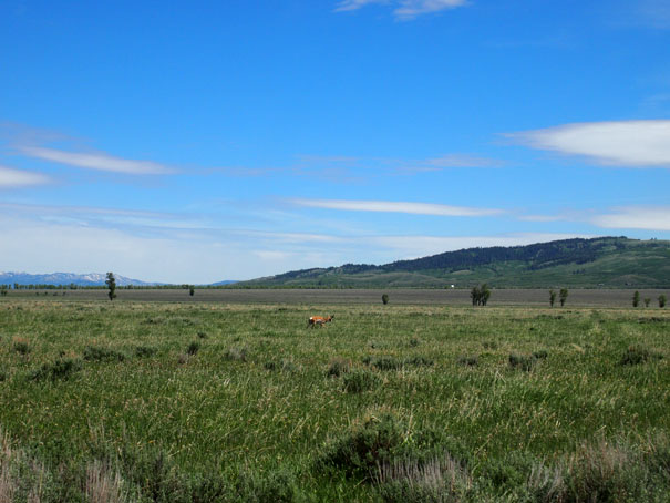
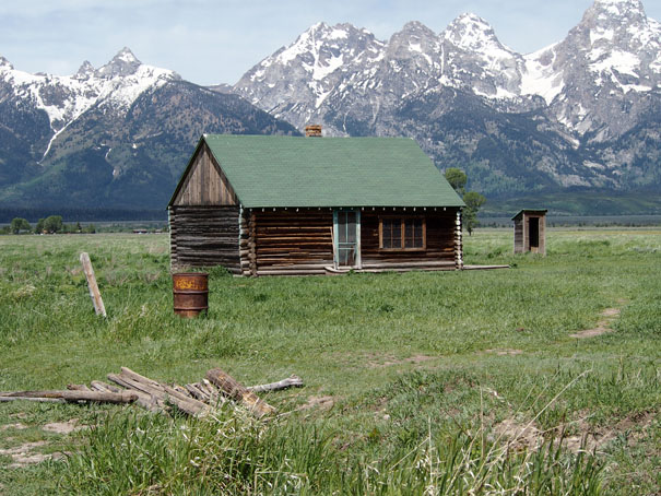
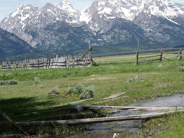
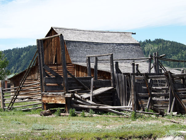
Mormon Row is a line of homestead complexes along the Jackson-Moran Road near the southeast corner of Grand Teton National Park, in the valley called Jackson Hole. The rural historic landscape's period of significance includes the construction of the Andy Chambers, T.A. Moulton and John Moulton farms from 1908 to the 1950s. Six building clusters and a separate ruin illustrate Mormon settlement in the area and comprise such features as drainage systems, barns, fields and corrals. Apart from John and T.A. Moulton, other settlers in the area were Joseph Eggleston, Albert Gunther, Henry May, Thomas Murphy and George Riniker.
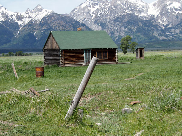
The area is also known as Antelope Flats, situated between the towns of Moose and Kelly. It is a popular destination for tourists and photographers on account of the historic buildings, the herds of bison, and the spectacular Teton Range rising in the background. The alluvial soil to the east of Blacktail Butte was more suitable than most locations in Jackson Hole for farming, somewhat hampered by a lack of readily available water. The Mormon homesteaders began to arrive in the 1890s from Idaho, creating a community called "Grovont," with a total of 27 homesteads. The Mormon settlers tended to create clustered communities, in contrast to the isolated homesteads more typical of Jackson Hole.
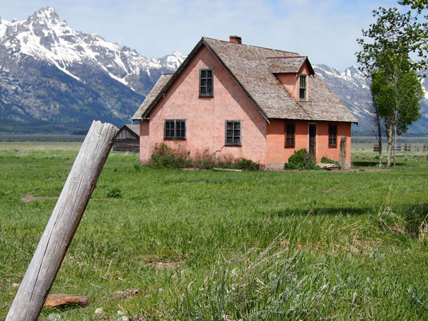
Mormon Row was placed on the National Register of Historic Places in 1997.
Quoted From: Mormon Row Historic District - Wikipedia
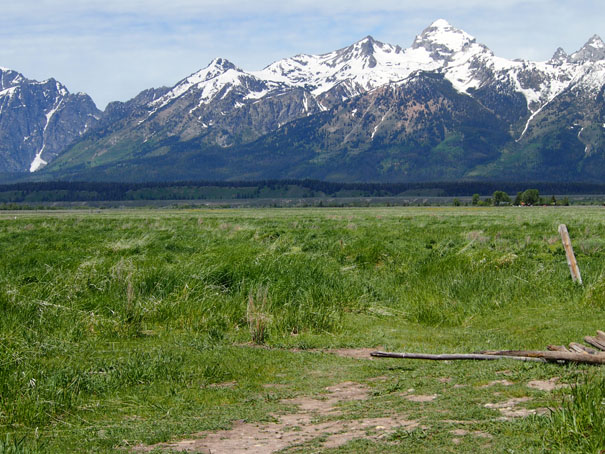
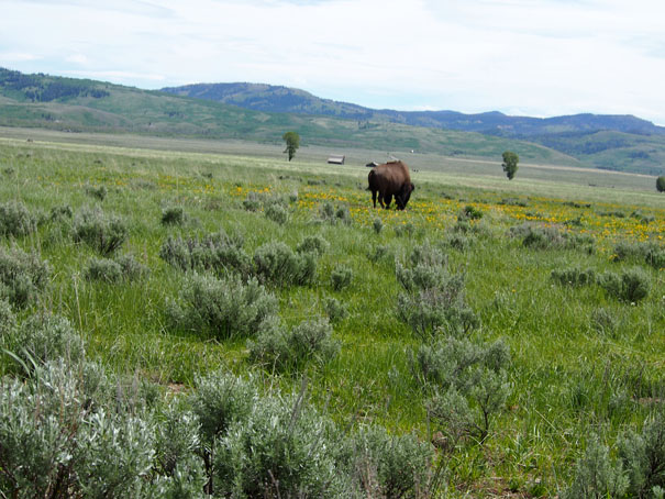
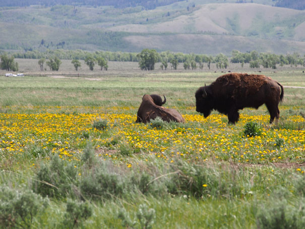
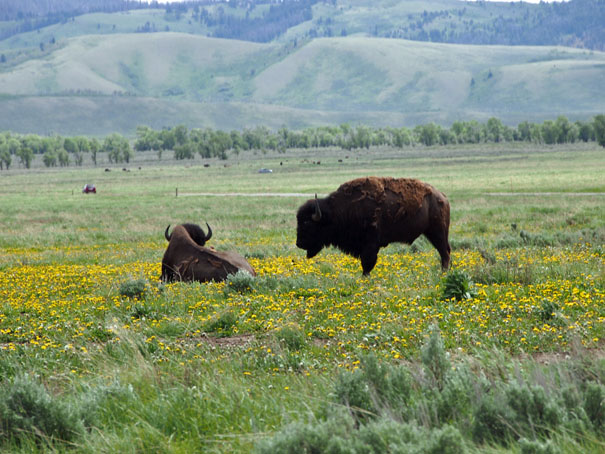
More Bison Driving to Lake Jenny
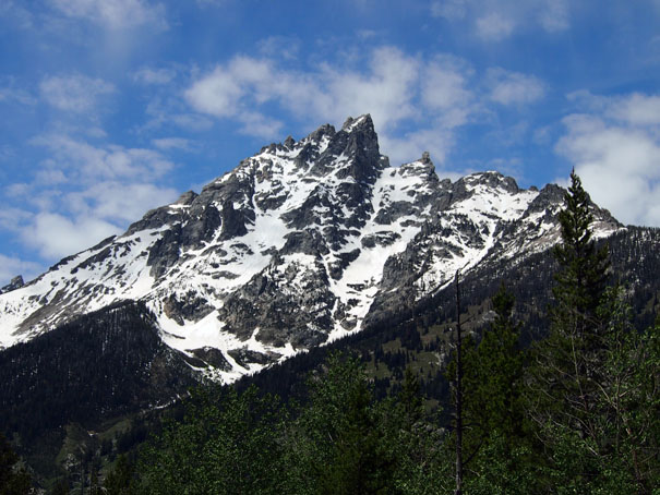
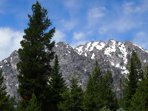
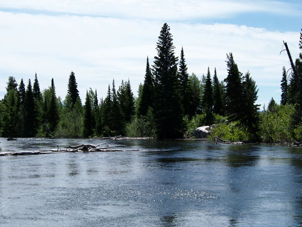
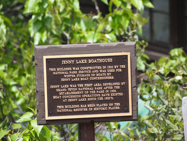
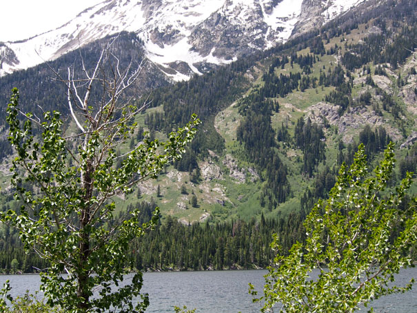
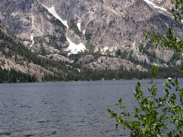
Jenny Lake
Jenny Lake is located in Grand Teton National Park in the U.S. state of Wyoming. The lake was formed approximately 12,000 years ago by glaciers pushing rock debris which carved Cascade Canyon during the last glacial maximum, forming a terminal moraine which now impounds the lake. The lake is estimated to be 423 feet deep and encompasses 1,191 acres. Jenny Lake is considered to be a major focal point in Grand Teton National Park, with many hiking trails, scenic boat rides and a quick access to the major climbing routes into the tallest peaks of the Teton Range.
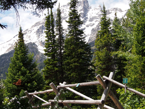
Jenny and Jackson Lakes are the only lakes in Grand Teton National Park where motorboats are permitted and both lakes have scenic tours available. A 2005 study of the water quality of the lakes in Grand Teton National Park indicated that all the lakes in the park were still considered pristine and that they had not been impacted by air or water pollution.
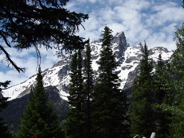
Jenny Lake is a starting point for many day and overnight hiking trips. The 7.1 miles loop trail around the lake is considered to be relatively easy due the small altitude gain of 700 feet. However, the altitude increases rapidly once Cascade Canyon is entered.
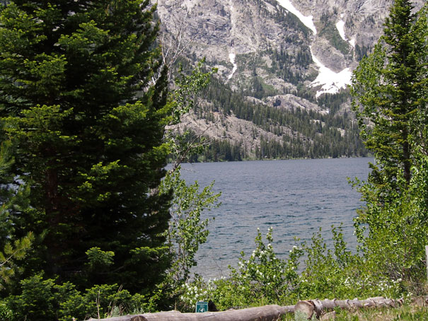
Jenny Lake also has good fishing for non-native Lake Trout (Salvenilus namaycush), which are easily caught with trolling or similar techniques. These fish move into the shallows after ice-out and to spawn, and stay in the depths for most of the other months.
Quoted From: Jenny Lake - Wikipedia
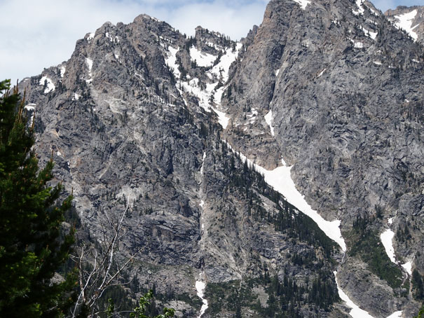
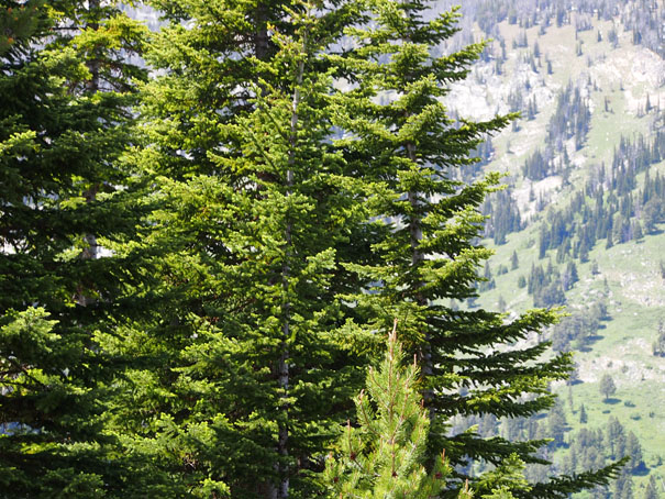

Bobbie at Jenny Lake

Janie and Bobbie
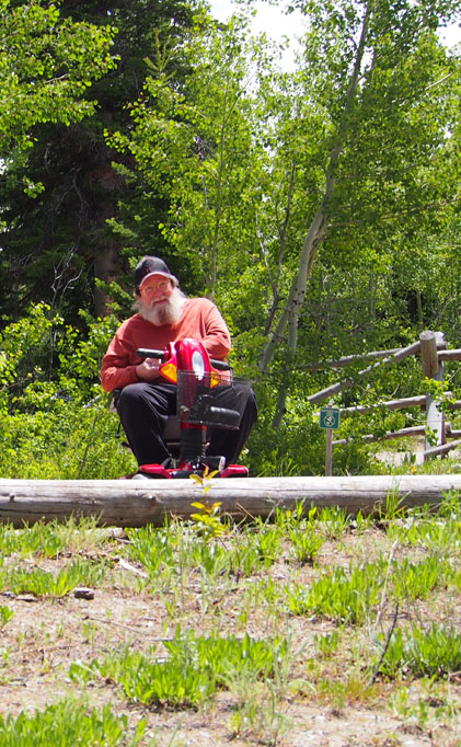
Bruce
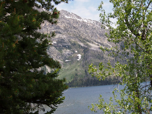
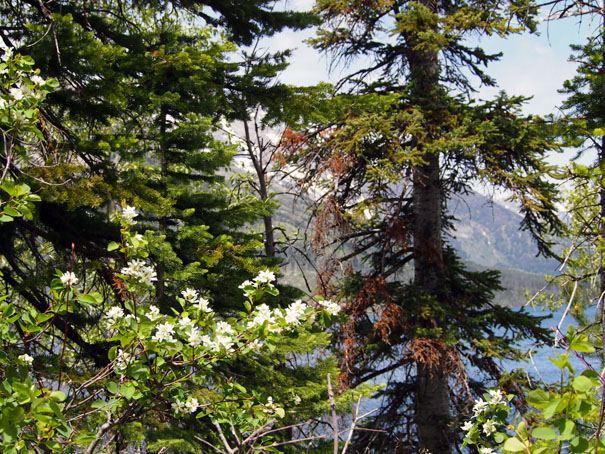
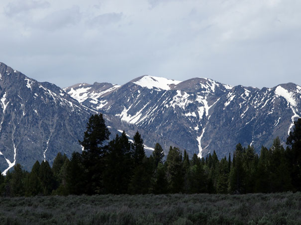
Mount Moran
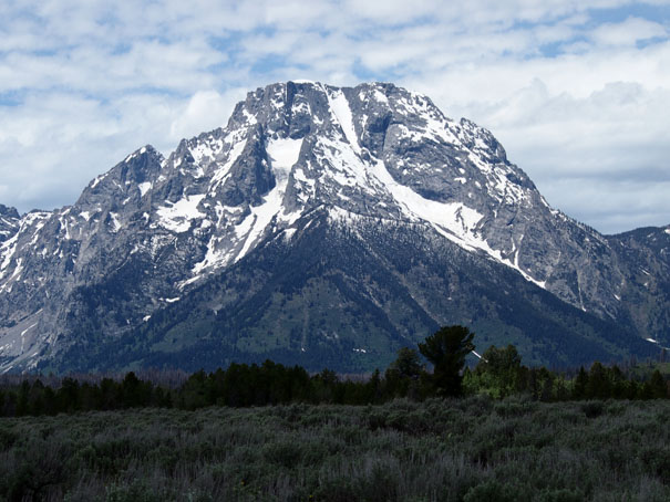
Mount Moran
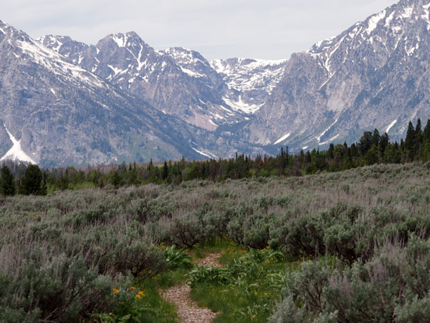
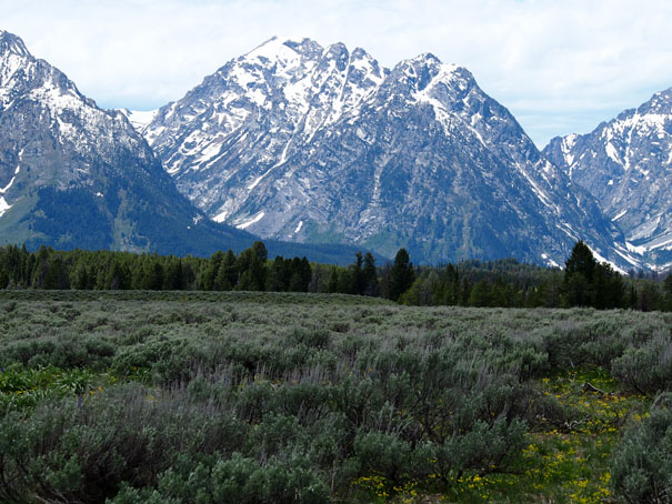
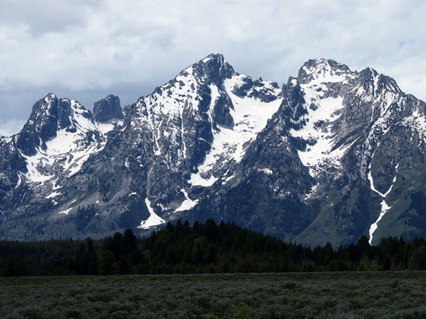
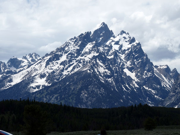
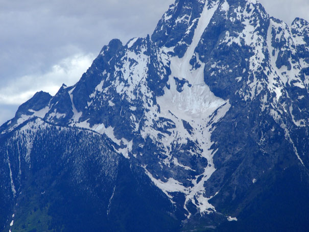
Mount Moran (12,605 feet) is a mountain in Grand Teton National Park of western Wyoming, USA. The mountain is named for Thomas Moran, an American western frontier landscape artist. Mount Moran dominates the northern section of the Teton Range rising 6,000 feet above Jackson Lake. Several active glaciers exist on the mountain with Skillet Glacier plainly visible on the monolithic east face. Like the Middle Teton in the same range, Mount Moran's face is marked by a distinctive basalt intrusion known as the Black Dike.
Quoted From: Mount Moran - Wikipedia
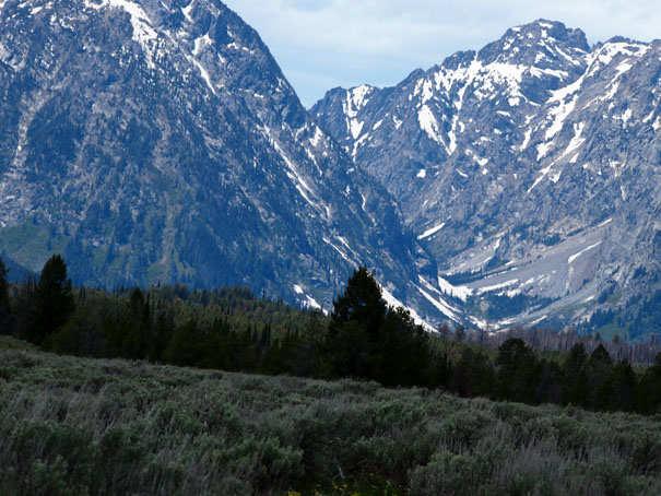
Lake Jackson
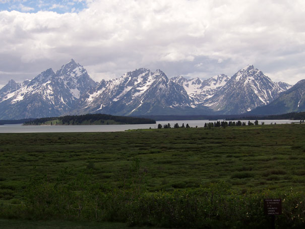
Jackson Lake
Jackson Lake is located in north western Wyoming in Grand Teton National Park. This natural lake was enlarged by the construction of the Jackson Lake Dam which as originally built in 1911, enlarged again in 1916 and rebuilt once again by 1989. The top 33 ft., of the lake is utilized by farmers in Idaho for irrigation purposes. The lake is the remnant of large glacial gouging from the neighboring Teton Range to the west and the Yellowstone Plateau to the north. The lake is primarily fed by the Snake River which flows in from the north and empties at the Jackson Lake Dam. Jackson Lake is one of the largest high altitude lakes in the U.S. at an elevation of 6,772 ft. above sea level. The lake is up to 15 mi long, 7 mi wide and 438 ft. (134 m) deep. The water of the lake averages below 60 °F even during the summer.
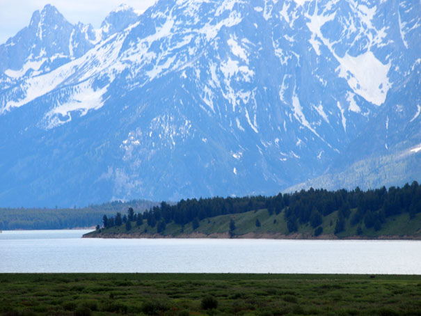
Numerous species of fish inhabit the lake including nonnative brown and Lake trout and the native Snake River fine-spotted cutthroat trout and Mountain whitefish.
There are over 15 islands in the lake, including Elk Island which is the largest and Donoho Point.
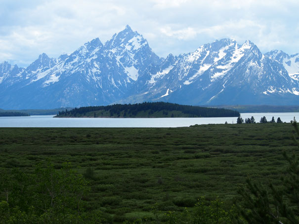
John D. Rockefeller, Jr. Memorial Parkway, a separate National Park area, is located near the northern end of Jackson Lake and extends to the south entrance of Yellowstone National Park. This roadway combines with the roads in Grand Teton National Park that follow the eastern side of the lake, providing access for boating and fishing. There are several different marinas and lodges along the eastern shore such as Leeks marina, Colter Bay Village, Jackson Lake Lodge and Signal Mountain Lodge. All of these except Jackson Lake Lodge have boat access points and ramps. The western shore of Jackson Lake is primitive, with only hiking trails and a handful of primitive campground spots.
Quoted From: Jackson Lake - Wikipedia
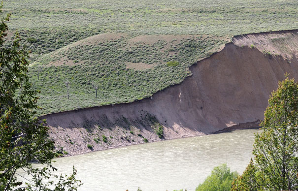
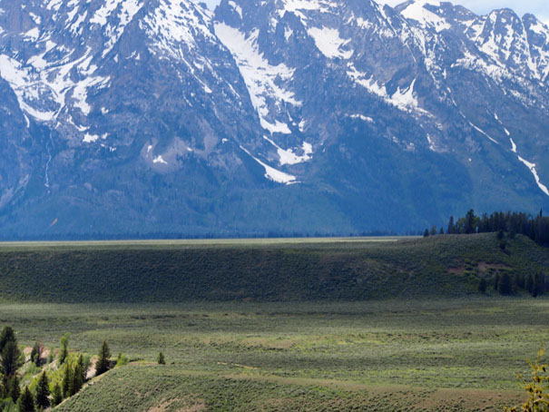
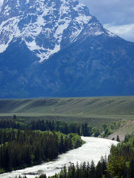
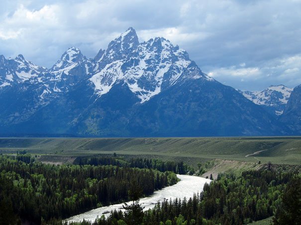
The Snake River
Snake River
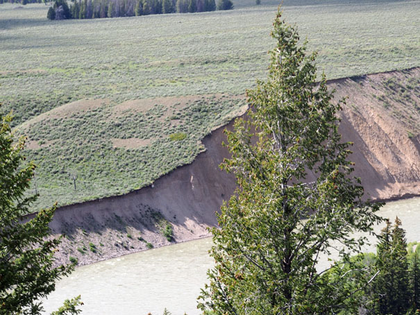
The Snake is a major river of the greater Pacific Northwest in the United States. At 1,078 miles long, it is the largest tributary of the Columbia River, the largest North American river that empties into the Pacific Ocean. Rising in western Wyoming, the river flows through the Snake River Plain then rugged Hells Canyon and the rolling Palouse Hills to reach its mouth at the Tri-Cities of the state of Washington. Its drainage basin encompasses parts of six U.S. states, and its average discharge is over 54,000 cubic feet per second.
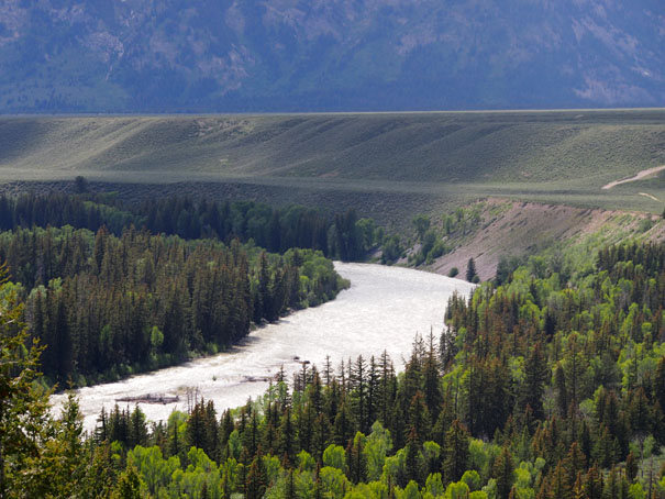
Rugged mountains divided by rolling plains characterize the physiographical diverse watershed of the Snake River. The Snake River Plain was created by a volcanic hotspot which now lies underneath Yellowstone National Park, the headwaters of the Snake River. Gigantic glacial-retreat flooding episodes that occurred during the previous Ice Age carved out many topographical features including various canyons and ridges along the middle and lower Snake. Two of these catastrophic flooding events significantly affected the river and its surrounds.
More than 11,000 years ago, prehistoric Native Americans lived along the Snake. Salmon from the Pacific Ocean spawned in the millions in the river. These fish were central to the lives of the people along the Snake below Shoshone Falls. By the time Lewis and Clark crossed the Rockies and sighted the valley of a Snake tributary, the Nez Perce and Shoshone were the most powerful people in the region. Contact with Europeans introduced horses to some tribes, reshaping their lifestyles for the next few hundred years before outside settlement. Later explorers and fur trappers further changed and utilized the resources of the Snake River basin. At one point, a hand sign made by the Shoshones representing fish was misinterpreted to represent a snake, giving the Snake River its name.
By the middle 19th century, the Oregon Trail, a pioneer trail of which a major portion followed the Snake River, had been established. Steamboats and railroads moved agricultural products and minerals along the river throughout the 19th and early 20th centuries. The powerful, steep flow of the Snake has been utilized since the 1890s to generate hydroelectricity, enhance navigation and provide irrigation water from fifteen major dams that have transformed the lower river into a series of reservoirs, several of which have been proposed for removal to restore some of the river's once tremendous salmon runs.
Quoted From: Snake River - Wikipedia
Return to Bruce and Bobbie's Main Page.